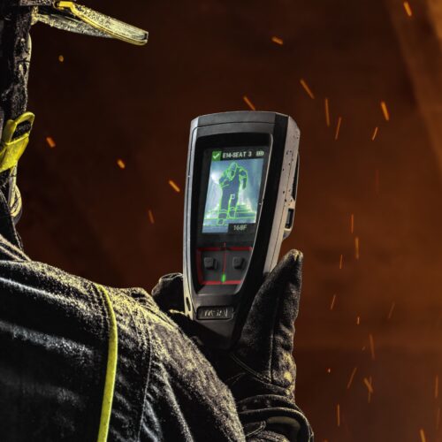
Part of the MSA Connected Firefighter Platform, FireGrid™ now includes Map View, which enhances incident commander and departmental leadership situational awareness by providing data on your teams and devices on a map.
Through live monitoring of location and status information from GPS-enabled LUNAR® Connected Devices, FireGrid Map View provides the following data:
- Firefighter estimated location outside a structure
- Device status
- Personalization and team identification
- G1 SCBA air pressure and alarm status
- Last known location/GPS connection lost indication
Watch the video below to see Map View in action.

Recommended for You